Reading the sky: predicting the weather without a phone
Cirrus clouds, halos, shifting breezes, an altimeter watch that 'climbs' while you stand still: your phone has no service, but the sky is still broadcasting.
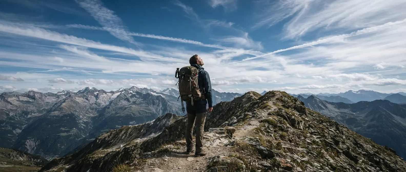
The mountain pass is still two hours away, your phone has shown “no service” since the last hamlet, and you’ve just noticed that the sky—crystal blue this morning—is now streaked with long white filaments racing eastward. You have no app, no signal bar, no updated forecast. What you do have is the sky, the wind on your cheek, and a watch. That is precisely all sailors and farmers had two centuries ago, and it was more than enough to keep them from getting caught off guard.
Clouds that warn you
The sky doesn’t lie, but you need to know how to read it. Clouds are, by far, the most reliable weather indicators visible to the naked eye—well ahead of wind or pressure. They form when water vapor condenses as it cools; they grow as long as cooling continues, and they fall as rain when droplets become too heavy to float. Ten main cloud families cover the essentials, categorized by altitude—and generally, the higher they are, the longer your good weather will hold.
Cirrus: the first signal, 12 to 24 hours ahead
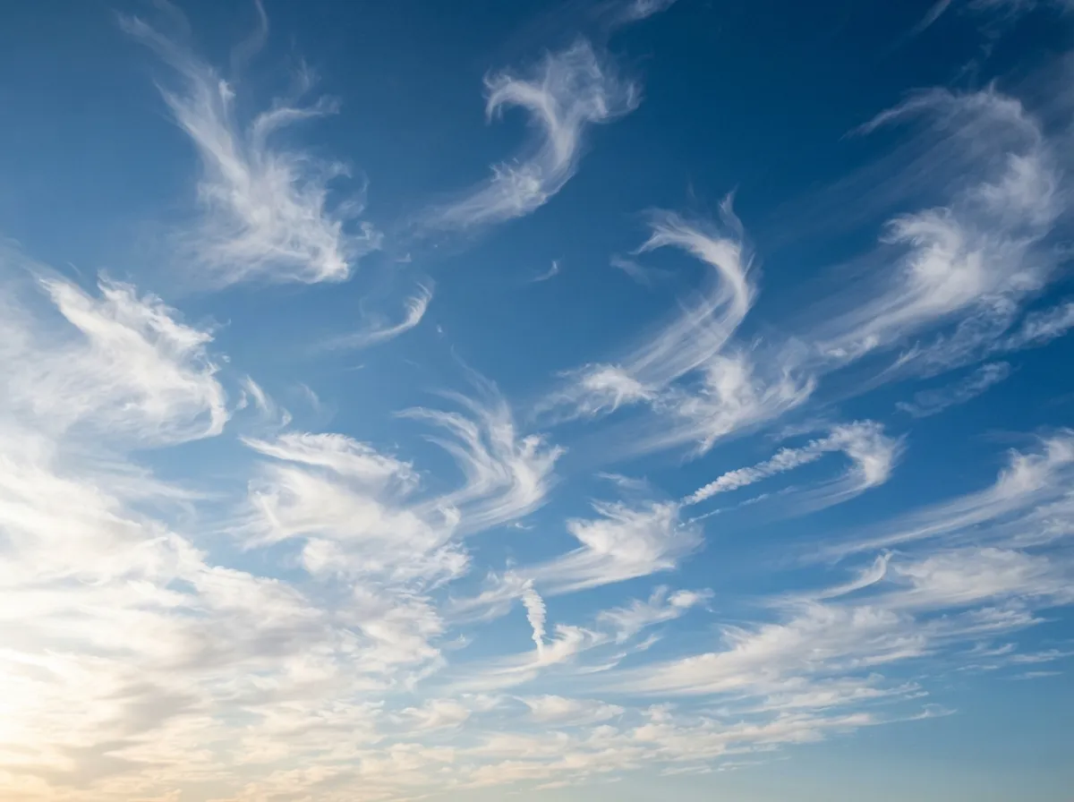
Cirrus is the highest of common clouds, sitting between 6,000 and 9,500 m in mid-latitudes, and up to 13,500 m in the tropics. Made of ice crystals, it takes on the appearance of thin, fibrous white strands while fine weather still prevails. Its hooked variant, cirrus uncinus, earned a classic nautical nickname: “mare’s tails.” When these wisps multiply and speed in the same direction across the horizon, they are usually the leading edge of an approaching front—meaning rain typically starts 12 to 24 hours later.
Cirrostratus and halos: rain within 24 hours
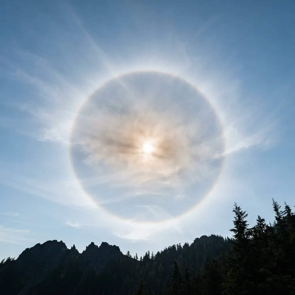
As cirrus clouds thicken and merge into a continuous veil, they become cirrostratus. The sky turns milky, and the sun or moon remains visible but appears hazily veiled. This is the only cloud family that produces a halo—a bright ring around the sun or moon caused by light refracting through ice crystals. Old weather lore captures it well: “Ring around the moon, rain coming soon.” Here is the detail few people notice: the size of the halo matters. If it expands, the upper air is drying out and clear weather will hold or return; if it shrinks, moisture is encroaching and rain is drawing near—a shrinking halo is a far surer sign of incoming rain than a newly formed one.
Altocumulus: the mackerel sky
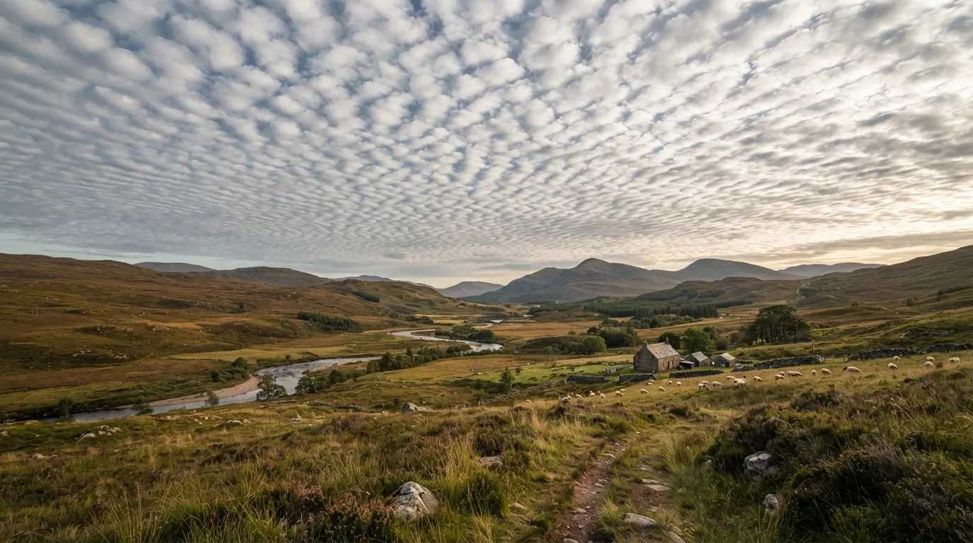
A mid-altitude cloud (2,000 to 7,000 m), altocumulus forms rounded masses larger than cirrocumulus but smaller than stratocumulus. When arranged in undulating rolls, it creates the famous “mackerel sky”, named for its uncanny resemblance to fish scales. Old lore often compares its fleeting nature to fleeting beauty. One specific variety deserves a watchful eye: altocumulus castellanus. Shaped like tiny towers, it signals unstable air and frequently announces late-day thunderstorms—making it one of only three cloud types aviation registers as a formal warning.
Cumulonimbus: the anvil and the storm
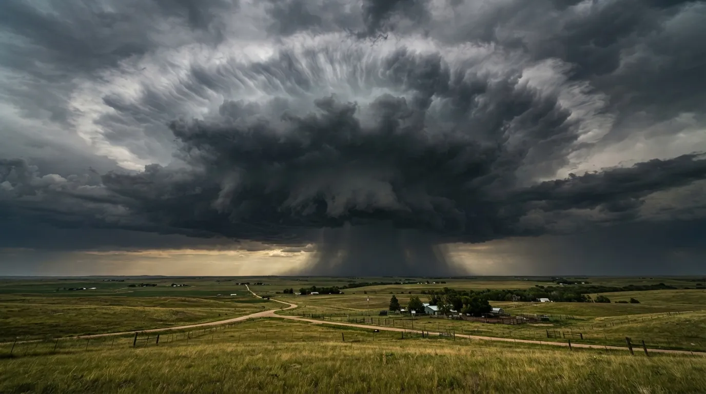
Impossible to miss: dense, dark, and towering up to 12,000 m in standard conditions—and exceptionally up to 20,000 m—it flattens out into a prominent anvil top when hitting the tropopause, the stable layer capping its ascent. This cloud brings hail, severe winds, thunder, and lightning. An isolated thunderstorm typically runs its entire lifecycle—birth, maturity, dissipation—in about 30 minutes, though a self-regenerating storm line can last much longer. Beneath the anvil, you might spot an overshooting dome (a sign of an intense updraft) or an advancing shelf cloud: both signal imminent intensification.
Mammatus: the mark of severe storms
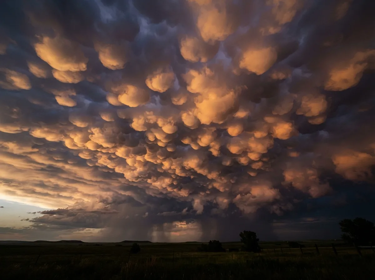
These rounded pouches hanging beneath the base of a cumulonimbus—named from the Latin mamma—signal intense atmospheric instability and strong convective turbulence, representing a recognized hazard for aircraft. Each pouch spans 1 to 3 km in diameter and usually lasts only about ten minutes before reforming elsewhere. Contrary to popular belief, mammatus clouds don’t necessarily herald an imminent tornado: they can appear around, before, or even after the storm’s core. They indicate severe turbulence, not a precise countdown.
Lenticular clouds: wind you can’t feel yet
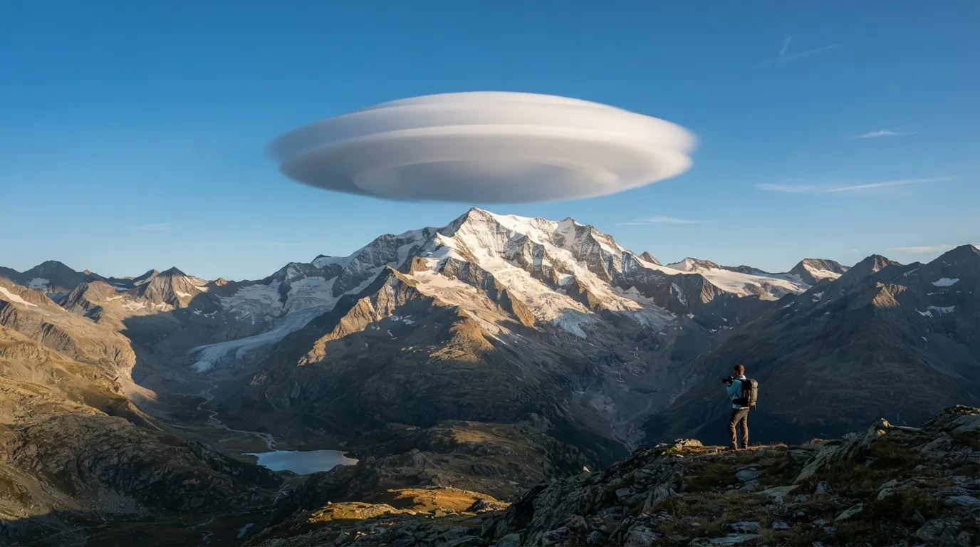
In the mountains, when stable, moist air flows over a ridge, it creates standing waves. Clouds condense at the crest of these waves, remaining stationary while wind streams straight through them. This tricks the eye: the cloud looks pinned in place, almost artificial. Its shape and orientation show exactly where updrafts lie and where upper-level winds are blowing. For a hiker or climber, a crisp, well-defined lenticular cloud is a clear indicator of strong winds aloft, even if the air feels calm down in the valley. Powered aircraft avoid them due to severe downdrafts on the lee side, while glider pilots seek them out for their powerful wave lift—mountain waves that have enabled record-setting soaring flights over 3,000 km in distance and altitudes exceeding 22,000 m.
Fronts: what happens before, what happens after
A weather front is the boundary separating two air masses of different temperatures. Two main types appear in the sky, each reading quite differently—and knowing which one is coming changes how you prepare.
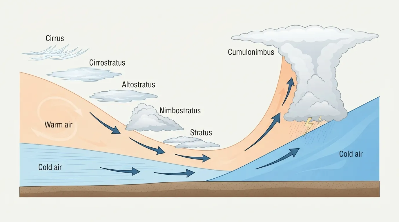
| Warm Front | Cold Front | |
|---|---|---|
| First clouds | Cirrus then cirrostratus, 12-24 h ahead | Often no early signs, or fast-growing cumulus |
| Cloud progression | Slowly thickens: altostratus then nimbostratus | Cumulonimbus developing in a matter of hours |
| Precipitation | Steady, light rain settling in gradually | Sudden heavy rain, downpours, severe storms, or hail |
| Temperature | Rises slowly | Drops sharply and rapidly upon passage |
| Wind | Shifts direction gradually | Shifts abruptly as the front passes |
| Speed of movement | Slow | Fast, often twice the speed of a warm front |
A warm front gives plenty of advance warning and takes its time. A cold front strikes fast and hard, but clears out just as quickly behind it, often leaving washed sky and excellent visibility in its wake. In practice: a sky that veils over gradually across an entire morning signals a wet, dreary day, but rarely a sudden hazard. A sky that flips in twenty minutes with booming vertical cumulus signals a brief, violent event—the time to seek shelter, not debate options.
Winds that speak
Buys Ballot’s law: locating low pressure without a barometer
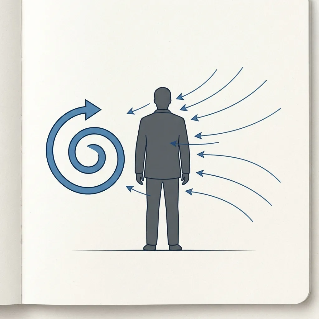
In 1857, Dutch meteorologist Buys Ballot formulated a simple rule derived from Earth’s rotation (Ferrel’s law): in the Northern Hemisphere, if you stand with your back to the wind, the low-pressure area—and bad weather—is on your left, while high pressure lies on your right. In the Southern Hemisphere, it’s reversed. This isn’t just maritime trivia: it lets you pinpoint where the weather system is located without any instruments, letting you know if it’s moving toward or away from your position.
The corollary matters just as much: as long as the wind holds its direction, the current weather pattern will stay stable. As soon as it shifts, even slightly, a new weather system is arriving. A strong, dry wind indicates stable conditions that will persist until it slackens or turns. A quiet day where the wind suddenly kicks up without other signs almost always points to incoming weather.
Sea breeze, land breeze: the coastal clock
Water heats up and cools down much slower than land. During the day, land warms quickly, the air above it rises, and cooler sea air rushes in to take its place: this is the sea breeze, blowing from sea to land in the afternoon. At night, land cools faster than the ocean, reversing the flow: the land breeze blows offshore, usually weaker and less extensive. A sea breeze typically reaches 10 to 100 km inland.
| Sea Breeze | Land Breeze | Valley Breeze (Anabatic) | Mountain Breeze (Katabatic) | |
|---|---|---|---|---|
| Timing | Afternoon | Nighttime | Daylight, calm and sunny | Nighttime |
| Direction | Sea to land | Land to sea | Valley to summit | Summit to valley |
| Driving force | Land warmer than sea | Land cooler than sea | Sun-heated mountain slopes | Cool air sliding down by gravity |
| Typical strength | Moderate to strong | Weaker | Moderate | Light to moderate |
A dramatic example occurs in southeastern Australia: the Southerly Buster, a sea breeze front so abrupt it packs gusts over 75 km/h and drops temperatures by 10 to 15 °C in minutes—proof that basic thermal mechanics, pushed to the extreme, can turn hazardous.
Valley breeze, mountain breeze: the climber’s clock
In mountain terrain, the same mechanism plays out across slopes. During the day, sunlight heats the mountainsides and air rises along the topography: this is the anabatic (upslope) breeze, blowing from valley to summit. It can generate cumulus clouds—and late-day thunderstorms if moisture is present. At night, slopes cool faster than surrounding free air at the same altitude. This denser cold air drains downward under gravity: this is the katabatic (downslope) breeze. Climbers starting before dawn benefit from stable nighttime air, which is why classic alpine starts happen early, long before daytime heating triggers turbulence.
Pressure you feel in your legs
A falling barometer signals bad weather—the foundation of weather instruments since the 17th century. As a general rule, a drop of more than 3.5 hPa over a few hours indicates a significant weather shift, and the faster the drop, the harsher the change. Back in the 18th century, navigator Christopher Middleton noted that his marine barometer reliably foretold storms, wind shifts, and the proximity of sea ice.
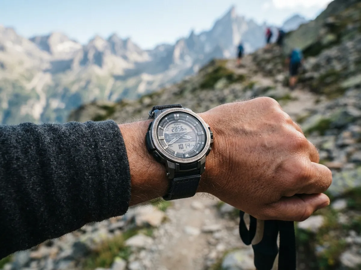
Here is a trick for hikers without a standalone barometer: check your altimeter watch. These watches calculate altitude based on atmospheric pressure. If your indicated altitude “climbs” while you’re taking a break at a fixed spot, ambient air pressure is dropping—meaning weather is deteriorating, just as a dropping barometer shows. Watch out for the reverse effect too: pressure naturally decreases as you climb higher in the mountains, so an uncalibrated barometer will trigger false alarms on every ascent. Always calibrate your watch to a known elevation (summit, hut, map point) before relying on it for weather trends.
Weather lore: the true, the false, and the “it depends”
Red sky at night, red sky in the morning
“Red sky at night, sailor’s delight; red sky in morning, sailor’s warning”—this saying is over two thousand years old (appearing in the Gospel of Matthew) and rests on real physics. Red skies occur when dust-laden air, typical of stable high-pressure systems, scatters red light from a low sun (Rayleigh scattering). In middle latitudes, where weather systems travel predominantly west to east, a red sky at night means clear, stable air is moving in from the west: good weather ahead. A red sky in the morning means that stable air mass has already passed to the east, making way for an unstable system coming from the west. The proverb holds up well in temperate zones—though it breaks down near the equator, where prevailing winds blow east to west.
Pine cones: surprisingly accurate hygrometers
Flattened smoke, heavy air
A campfire acts as a combustion barometer. When smoke rises in a straight, narrow vertical column, the air is stable and clear weather will persist. If smoke flattens out, swirls, or sinks shortly after rising, pressure is dropping and an unstable system is approaching—FM 21-76 notes simply that low or “flattened” smoke indicates stormy weather. This happens because an approaching low-pressure front brings heavy, humid air that traps smoke near the ground. That same front leaves clues for your ears and nose: in the quiet, humid air ahead of rain, sounds carry further and plant scents become noticeably stronger.
Low-flying swallows
Old proverbs note that when swallows fly low, rain is on the way; when they fly high, good weather will stay. The underlying science is sound: in dry, warm air, insects ride thermal updrafts high into the sky, and insect-eating swallows follow them up. As humidity rises ahead of rain, moisture weighs down insect wings, forcing them to stay near the ground—and swallows swoop low to feed. FM 21-76 confirms this mechanism for birds and insects in humid conditions. It’s a mechanically sound and plausible indicator, though it reflects humidity already present rather than predicting distant forecasts.
Joint pain: the most thoroughly debunked myth
Lying cows: another persistent myth
The same logic applies to seagulls resting on shore: they aren’t predicting a storm, they are already enduring it. Rough seas and high winds make flying offshore energy-expensive, so they head inland—signaling that weather has already deteriorated out at sea.
Terrain by terrain
Mountains: afternoon storms and the 30-30 rule
Mountain storms follow clear mechanics: sunlight heats slopes all morning, warm air ascends in anabatic breezes, picks up moisture, and atmospheric instability (CAPE, or Convective Available Potential Energy) builds up with the heat. Storm risks peak in the late afternoon, typically between 2:00 PM and 6:00 PM. That is why mountain guides start alpine routes long before dawn, aiming to top out—or reach safety—before noon.
For lightning safety, field manuals rely on the speed of sound: count the seconds between the flash and the thunder (“one-thousand-one, one-thousand-two…”), then divide by three to get the distance in kilometers (or by five for miles). If the delay drops below 30 seconds (meaning the storm is less than 8-10 km away), seek shelter immediately and stay put for at least 30 minutes after hearing the last thunderclap. Lightning can strike far ahead of rainfall, and long after the storm cloud seems to have drifted away.
- Count the seconds between flash and thunder at the very first strike.
- Leave ridges, summits, steel cables, antennas, and exposed high points immediately.
- Descend to lower, forested ground if the delay falls under 30 seconds, without running recklessly along exposed terrain.
- Crouch down with feet together, staying clear of overhanging rock faces or isolated trees if no shelter is nearby.
- Wait at least 30 minutes after the last thunderclap before returning to exposed areas.
Mountain fog keeps its own hours: cold, dense air settles into hollows and valleys overnight (driven by radiative cooling, much like frost). Consequently, mountain fog is often thickest right after sunrise, before burning off as daytime heating takes over. If valley fog fails to lift by noon, expect it to stick around all day. The real hazard isn’t ordinary fog, but a whiteout: a complete loss of contrast between snow and sky caused by heavy snowfall, wind-blown powder, or fog over snowfields. The horizon vanishes, terrain features disappear, and experienced navigators can quickly lose their bearings on familiar ground.
Another notable mountain wind is the foehn: air that sheds its moisture as rain or snow on the windward slope, then drops down the leeward side, warming rapidly through dry adiabatic compression—raising temperatures by up to 14 °C in a few hours. Known by different names around the world (like the Chinook in the Rockies or Santa Ana in California), it melts snow rapidly and increases avalanche risks by abruptly warming the snowpack.
Sea: ocean swells speak before the wind
At sea, the equivalent of a mountain lenticular is the squall (grain): a sudden, sharp spike in wind speed preceded by shelf clouds or roll clouds along the gust front. Warning time is short—often less than fifteen minutes between cloud appearance and heavy wind strikes—leaving just enough time to reef sails. Experienced coastal mariners head for harbor at the first sign rather than waiting for confirmation.
Deserts: the advancing wall
Deceptive cold and heat
Wind chill
Wind never lowers the actual air temperature, but it sweeps away the thin layer of warm air your body maintains against your skin, accelerating heat loss. This is wind chill: an index of human sensation, not physical temperature. Official North American weather charts illustrate this well: at −20 °C, a light 5 km/h breeze creates a wind chill felt as −24 °C; that same −20 °C air with a 30 km/h wind drops the felt temperature down to −33 °C. Wind chill formulas apply only below 10 °C and with wind speeds above 5 km/h—below that threshold, the effect is negligible.
Anticipating frost
A clear, starry night with no wind provides the single best forecast for overnight frost. The mechanism is radiative cooling: ground heat radiates into space all night long as infrared energy, and without cloud cover to trap it, heat loss reaches its peak. Wind acts in opposition: calm nights promote frost, while windy nights hinder it by mixing warmer air down from above and preventing surface air from decoupling. When the ground temperature reaches the dew point, airborne moisture condenses into dew; if temperatures dip below 0 °C, that dew freezes into frost. Practical tip for picking a campsite: cold, heavy air sinks into hollows and valley floors. Avoid pitching your tent in low depressions on clear nights—slopes at mid-elevation stay significantly warmer.
Exhausting heat
High humidity dramatically alters how heat feels because it prevents sweat from evaporating—the human body’s main cooling system. The heat index combines ambient temperature and relative humidity into an apparent temperature: between 27 and 32 °C heat index, fatigue sets in; between 32 and 41 °C, heat exhaustion becomes likely; above 41 °C, heatstroke poses a direct threat. Practically speaking, 32 °C air with 70% humidity feels like nearly 41 °C—a jump many hikers dangerously underestimate as long as the thermometer displays a “reasonable” number.
Estimating by eye, with empty hands
Distance to a thunderstorm
Sound travels through air at roughly 343 m/s at 20 °C, while light travels almost instantaneously. Count the seconds between seeing a lightning flash and hearing the thunder—“one-thousand-one, one-thousand-two…”—then divide by three to get the distance in kilometers (or divide by five for miles). Three seconds per kilometer: it’s the most useful mental math you can do during a storm.
Time until sunset, using your hand
This technique takes thirty seconds to learn and relies on two measurable facts rather than magic formulas. First, the sun moves across the sky at a steady angular speed of roughly 15° per hour—a direct result of Earth completing one full rotation every 24 hours. Second, held at arm’s length, your hand provides fairly consistent angular measurements from person to person: a closed fist covers about 10°, while a fully spread hand (thumb to pinky) spans about 20°.
- Extend your arm straight out toward the sun, palm facing you, fingers flat and closed together.
- Align the top edge of your index finger with the bottom of the solar disk.
- Count how many hand-widths (or finger-widths) fit between the sun and the horizon line, stacking measurements downward if necessary.
- Convert: each full hand-width (roughly 20°) equals about 1 hour and 20 minutes of remaining daylight; each closed fist (roughly 10°) equals about 40 minutes; each finger-width equals roughly 15 minutes.
Trip planning: reliable tools when you still have service
Before heading out, checking an official forecast is always best practice—reading the sky serves as a safety net when service vanishes, not a primary replacement. Météo-France Montagne issues targeted forecasts across mountain regions, complete with station data, snow depths, and avalanche hazards. The accompanying avalanche risk reports use the European five-level scale, from 1 (low, generally stable snowpack) to 5 (very high, large natural avalanches probable even on gentle slopes)—level 3 (“considerable”) is already enough for a single hiker to trigger a slide on steep terrain. Apps like Windy and Meteoblue map multiple forecast models on interactive displays, making it easy to compare data rather than relying on a single source. Open-Meteo provides a free weather API requiring no key, aggregating over thirty weather models (including Météo-France and NOAA)—ideal for building custom planning tools.
Mariners and mountaineers refer to a weather window: making sure conditions remain clear not just for your planned timeline, but for your activity duration plus a built-in safety margin—effectively doubling estimated transit time for unexpected delays. A three-hour outing matching a three-hour clear window isn’t a safe weather window; it’s a gamble.
What sailors and farmers always knew
None of these field techniques are new: they were simply replaced over a single generation by digital screens we don’t always have access to. Sailors watched ocean swells, halos, sky colors, and scent changes to decide whether to weigh anchor or stay moored long before barometers existed—and modern seamanship texts like Adlard Coles’ Heavy Weather Sailing still teach these sky and ocean observations to mariners today. Farmers timed planting and hay harvesting around the same clues: flattening smoke, low-flying swallows, or shrinking lunar halos. None of this replaces a live forecast when you can get one—but all of it continues working when you can’t.
Frequently asked questions
How can I tell if it will rain without a weather app?
Watch cloud patterns over several hours: cirrus clouds multiplying and thickening into cirrostratus (often forming halos around the sun or moon) signal rain within 12 to 24 hours. A shifting wind direction, smoke that stops rising straight up, or suddenly stronger plant odors are additional reliable signs of an incoming weather change.
Is the saying “red sky at night, sailor’s delight” actually true?
Yes, in temperate latitudes like Europe and North America where weather systems move west to east: a red sky at night indicates dry, stable air to the west, signaling clear weather ahead. A red sky in the morning means that stable air has already moved east, making way for unsettled weather. The proverb loses its accuracy near the equator, where prevailing winds blow in the opposite direction.
How do I estimate the distance to a thunderstorm?
Count the seconds between seeing the lightning flash and hearing the thunder, then divide by three to get the distance in kilometers (or divide by five for miles)—sound travels at roughly 343 meters per second, whereas light travels almost instantly. If the count drops under 30 seconds, the storm is close enough that you should seek shelter immediately.
Does joint pain really predict incoming rain?
No: a major study analyzing millions of doctor visits in the US between 2008 and 2012 found zero statistical correlation between rainy days and doctor visits for joint or back pain, even among patients with rheumatoid arthritis. It is a classic example of confirmation bias—we remember when the timing lined up and forget when it didn’t.
Why do mountain thunderstorms almost always hit in the afternoon?
Sunlight warms mountain slopes all morning, sending air ascending in anabatic breezes that build atmospheric instability over time. Storm risks peak between 2:00 PM and 6:00 PM once heat accumulation triggers deep convection. That’s why mountain guides start routes before dawn and aim to reach safe ground before noon.
How do I recognize a lunar halo, and what does it mean?
A halo is a bright ring surrounding the sun or moon, caused by light refracting through ice crystals in high cirrostratus clouds—the only cloud family capable of producing this optical effect. If the halo expands, weather will stay clear or improve; if it shrinks, moisture is increasing and rain is likely within 24 hours.
Key takeaways
- Clouds are your most reliable guide: cirrus turning into cirrostratus (halos) announces rain 12 to 24 h ahead; cumulonimbus and mammatus signal immediate or ongoing storms.
- With your back to the wind in the Northern Hemisphere, low pressure lies to your left (Buys Ballot’s law); a shift in wind direction points to changing weather far more reliably than wind speed alone.
- An altimeter watch that “climbs” while you rest indicates dropping air pressure and incoming weather—provided you calibrated it at your starting point.
- Separate real lore from myths: red skies and low swallows have solid physical backing in mid-latitudes, while lying cows and joint pain are myths disproven by research.
- In mountain terrain, aim to top out before noon and count seconds between flash and thunder (3 s/km); if under 30 seconds, head down and wait 30 minutes after the final thunderclap.
Going further
- Tristan Gooley, The Secret World of Weather (2022)—how to read clouds, breezes, rain, and dew without instruments, by the “Sherlock Holmes of nature.”
- FM 21-76, US Army Survival Manual, Chapter 14: Weather Signs—wind, clouds, smoke, and pressure fronts packed into a concise, free field guide.
- John Wiseman, SAS Survival Handbook, Chapter: Reading the Signs—a thorough breakdown of weather proverbs and the science behind them.
- Météo-France Montagne—free regional forecasts, avalanche risk reports, and snowpack conditions.
- Open-Meteo—a free, open-access weather API for comparing global forecast models without registration.
Sources for this module (30)
- FM 21-76 US Army Survival Manual, ch. 14 Weather Signs
- John 'Lofty' Wiseman, SAS Survival Handbook — chapitre Weather Signs
- Wikipedia — Weather lore
- Wikipédia — Dictons météorologiques
- Wikipedia — Buys Ballot's law
- Wikipedia — Red sky at morning
- Wikipedia — Cirrus cloud
- Wikipedia — Cumulonimbus cloud
- Wikipedia — Mammatus cloud
- Wikipedia — Lenticular cloud
- Wikipedia — Altocumulus cloud
- Wikipedia — Weather front
- Wikipedia — Sea breeze
- Wikipedia — Anabatic wind
- Wikipedia — Foehn wind
- Wikipedia — Barometer
- Wikipedia — Wind chill
- Wikipedia — Heat index
- Wikipedia — Thunder (distance estimation)
- Wikipedia — Lightning safety
- Wikipedia — Haboob
- Wikipedia — Swell (ocean)
- Wikipedia — Squall
- Wikipedia — Petrichor
- Wikipedia — Weather pain
- Ulrich et al., Beyond the bilayer: multilayered hygroscopic actuation in pine cone scales, Beilstein J. Nanotechnol. (2025)
- Wikipedia — Angular diameter (mesure à main levée)
- Wikipedia — Diurnal motion
- Wikipedia — Avalanche (échelle européenne de risque)
- Open-Meteo — API météo gratuite
Continue in "Cross-cutting skills"
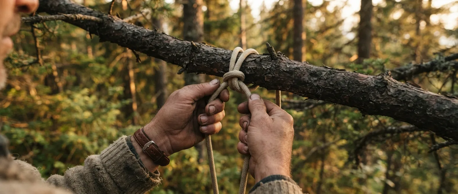
Knots and Cordage: The 10 That Actually Matter
3,857 knots listed in the reference book, and ten that are enough to pitch a shelter, scale a cliff, or save a life.

Knife, axe, saw: tools and the techniques that prevent injuries
The 'best knife' doesn't exist: only the one that fits your hand and your task—and the movements that keep you from getting hurt.
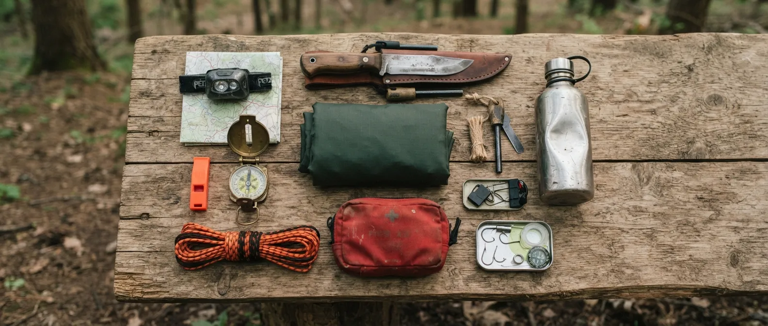
The Kit: What Should Be in Your Pockets, Backpack, and Car
What you carry on you saves you when you lose your pack: the kit hierarchy and essential checklists you shouldn't improvise.