Orienting yourself: finding your way without GPS
The trail has disappeared, your phone is dead, night is falling: here is how to read the sky, the map, and the landscape.
It is 4:40 p.m., late October. Fog rolled in suddenly, the trail you were following dissolved into blueberry bushes, and you just recognized the exact same split stump for the second time. Your phone shows 4% battery and zero bars. Your hands are cold, and that knot in your stomach is telling you to hurry up. This is precisely the moment to sit down.
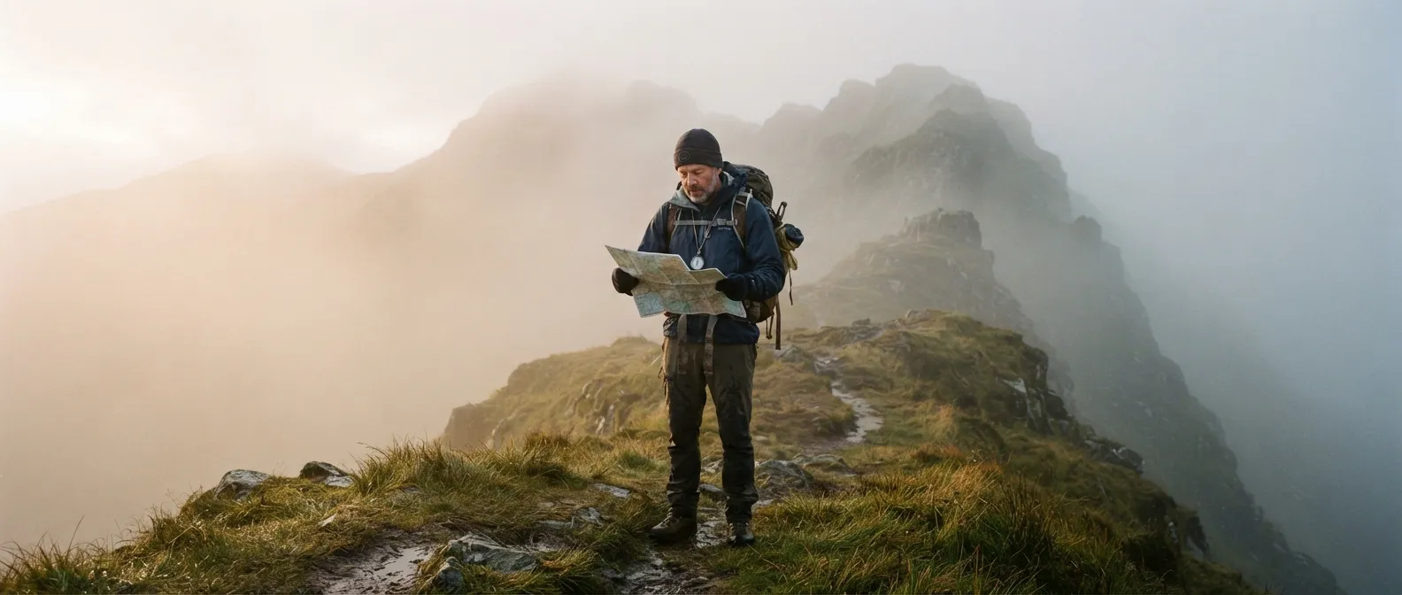
Lost? STOP first
Being lost isn’t about not knowing where you are. It’s continuing to walk when you no longer know. Search and rescue teams and bushcraft instructors all teach the same reflex, the acronym STOP: Stop (sit down, breathe), Think (what do you actually know? where did you come from? how long ago?), Observe (time, weather, terrain, gear in your pack), Plan (a single, calm decision). Paul Kirtley even advises brewing a hot drink: the ritual keeps your hands busy while panic subsides. Under stress, your brain produces what he calls “fuzzy, incomplete thinking,” and that is what makes you rush down a slope at random.
Next, the key question: does anyone know where you are and when you were due back? If yes, the right choice is almost always to stay put, visible, and dry. Most lost people are found within 24 hours, and a stationary target is infinitely easier to locate than a moving one. If no one is expecting you, you should first try to retrace your steps to the last known point (an intersection, a bridge, a trail sign), provided you can do so safely. Backtracking isn’t wandering: it’s retracing a chain of known points.
Why you walk in circles
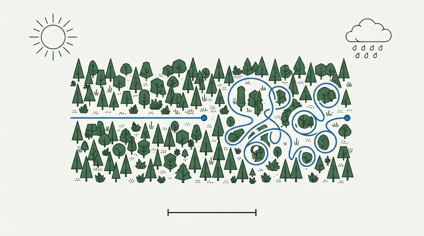
It’s not a myth. In 2009, Jan Souman and Marc Ernst (Max Planck Institute for Biological Cybernetics, Tübingen) equipped volunteers with GPS trackers and released them in the Bienwald forest and the Tunisian Sahara with one instruction: walk straight for hours. As long as the sun or moon remained visible, their paths were fairly linear. As soon as clouds obscured them, walkers began looping without realizing it. Blindfolded, some walked in circles less than 20 meters across. And contrary to the classic explanation (a longer leg or a stronger arm), the same person would drift left at times and right at others: it’s not your legs, it’s your brain, which—deprived of landmarks—accumulates small errors about what it thinks is “straight ahead.” A 2012 study from Bordeaux (PLoS ONE, 15 subjects) linked this drift to the inner ear rather than physical asymmetry.
The solution is as old as polar exploration: align two landmarks ahead of you (a tree, then a rock behind it) and never advance without a third one in sight. If you lack landmarks, walk in single file and let the last person in line correct the leader: Gatty notes that in the Alps, it’s not the lead guide who maintains a straight line, but the last person on the rope, who is the only one who can spot the drift.
Following water: the advice that saves lives and kills
“Follow a river downstream, it leads to civilization.” This is true nine times out of ten, writes Gatty, and FM 3-25.26 confirms it for jungle environments: following any watercourse downstream eventually brings you back to human presence. Valleys gather roads, villages, and bridges. But this rule has three lethal exceptions.
The first is a gorge. A mountain stream that narrows often ends in waterfalls and deep pools; you scramble down one ledge, then another, and suddenly you can’t climb back up. Flash floods are the leading cause of fatal accidents in slot canyons, with entrapment (no lateral escape routes) being the second. If the banks steepen and the roar of the water grows louder, get out of the riverbed and follow the parallel ridge: Gatty specifically advises sticking to ridgelines “from where you periodically catch sight of the river again.” The second exception is jungle and swampy areas: 50 meters of visibility, 2 km per hour at best, and tributaries that are impossible to cross at their confluence. The third is crossing into the wrong drainage basin: an Icelandic shepherd, caught in a fog in the central desert, unknowingly crossed a watershed divide, conscientiously followed “his” river, and arrived half-dead at a farm on the south coast, more than 160 km from home.
The compass: three norths and a shifting angle
A compass doesn’t point north. It points to magnetic north, which is neither true north (the axis of rotation, where meridians converge) nor grid north (the vertical lines on your map). The angle between true north and magnetic north is called declination. In France, it is currently around 2° East in Paris and close to 3° East in the Southeast (WMM 2025, NOAA calculation for September 2026), and it increases by about 0.15° per year. This isn’t trivial: throughout the 20th century it was west, reaching −21.8° around 1800, and it crossed zero around 2015. Older topographic maps carry a margin note (“declination as of January 1st of year X, annual change Y”) that you must update. In Quebec or Maine, it exceeds 15° West: taking a bearing without correcting it over 1 km will throw you off by about 18 meters per degree (FM 3-25.26 rule of thumb), or nearly 300 meters.
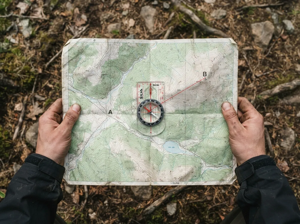
- Read the bearing on your map (angle clockwise from north) and adjust for magnetic declination: if magnetic north is east of true north, subtract; if west, add. Remember the back bearing (± 180°) to return.
- Hold the compass flat, at body center, elbows tucked in, far from any metal: 55 m from high-voltage lines, 18 m from a car, 10 m from barbed wire, 50 cm from a knife or hatchet.
- Sight a landmark along your bearing (a distinct tree, a boulder) and walk to it without staring at the compass. Then sight the next one. One distant landmark is worth ten close ones.
- Bypass an obstacle using box turns: turn 90° right, count your paces until you clear the obstacle, resume your original bearing, then turn 90° left for the exact same number of paces. You are back on your original line.
- Aim off intentionally (aim off by 5 to 10°) when your target lies along a linear feature like a road or stream. When you hit the feature, you will know with certainty which way to turn.
The map: reading slopes, locating yourself, choosing an attack point
The standard topographic map in France is the IGN TOP 25 at 1:25,000 scale: 1 cm on paper equals 250 m on the ground, and 4 cm equal one kilometer. Terrain is represented by contour lines, lines connecting points of equal elevation, spaced by a fixed contour interval (usually 10 m on TOP 25, 5 m in flat areas). Closely spaced lines mean steep slopes; widely spaced lines mean gentle terrain; every fifth line is thicker (an index contour) and shows its elevation. The trick that changes everything: the V shape of contour lines. When the tip of the V points uphill, you are looking at a valley or gully (thalweg) where water flows; when it points downhill, you are looking at a ridge.
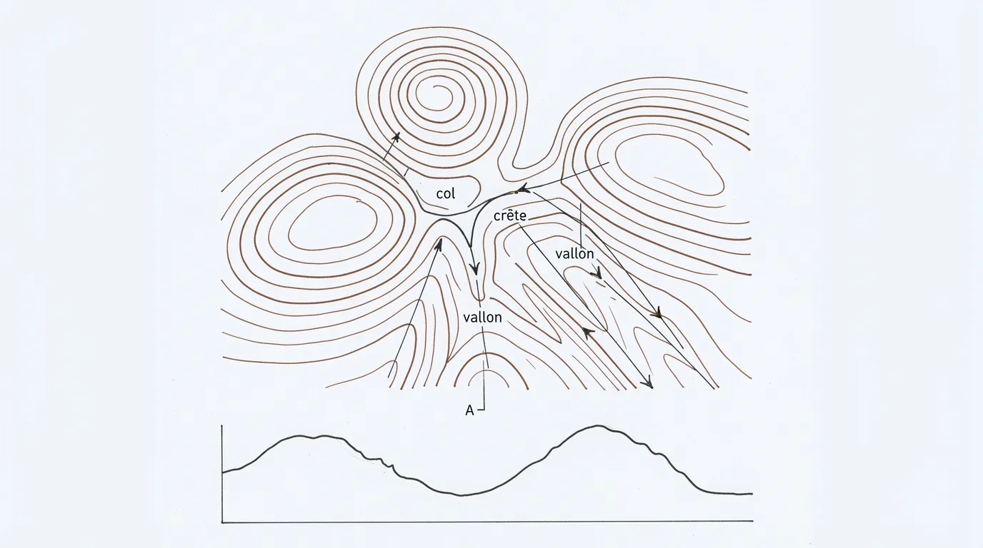
To locate yourself, orient the map first (align the north grid lines on the map with the compass needle, accounting for declination) and navigate by linear features rather than single points. Orienteers and FM 3-25.26 use the same terminology:
- handrail: a feature like a trail, river, power line, or ridgeline running in your direction that you can follow effortlessly;
- catching feature: a major feature like a road or stream perpendicular to your path that alerts you if you’ve gone too far;
- attack point: a distinct, easily recognizable feature (a bridge, junction, or ruin) within 500 m of your target from which you switch to precise navigation.
Finally, if you can identify two known distant peaks, take a bearing to each and plot their back-bearings on the map: your position is where the two lines cross. This is triangulation, a technique sailors have used for three centuries.
The sky: sun, stars, moon
The sun, and why the shadow-stick method disappoints
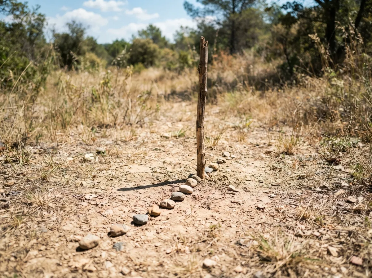
The sun moves across the sky at 15° per hour (360° in 24 hours). The shadow-stick method appears in almost every survival manual: plant a 1-meter stick vertically in the ground, mark the tip of its shadow with a pebble, wait 10 to 15 minutes, and mark the new shadow tip. The first mark is always west, “anywhere on Earth” according to FM 21-76, and the line between the two marks runs east-west. However, shadows do not travel in a straight line—they trace an arc. Testing by Rando Québec reveals that outside of midday or near the equinoxes, errors easily exceed 15°. The reliable version of this technique is finding solar noon via the shortest shadow: place pebbles along the shadow tip every ten minutes around solar noon; the shortest shadow points directly to true north (in the Northern Hemisphere). Note that solar noon isn’t 12:00 p.m.: in Western Europe, it occurs around 1:00 p.m. in winter and 1:50 p.m. in summer, depending on time zone, daylight saving time, and longitude.
An analog watch provides a better quick estimate, provided you apply the math correctly. Northern Hemisphere: hold the watch flat, point the hour hand at the sun, and south lies on the bisector between the hour hand and solar noon (roughly 1:00 p.m. in winter, 2:00 p.m. in summer in Western Europe; FM 21-76, written for US time zones, specifies “1 o’clock” during daylight saving time). Southern Hemisphere: invert the process—point the 12 at the sun, and the bisector between 12 and the hour hand points north. Harold Gatty warned as early as 1958 that this method can be off by up to 24° depending on latitude and season; between 40° and 60° latitude, however, it remains “reasonably accurate.” A digital watch works too: just picture an analog clock face in your mind.
The stars
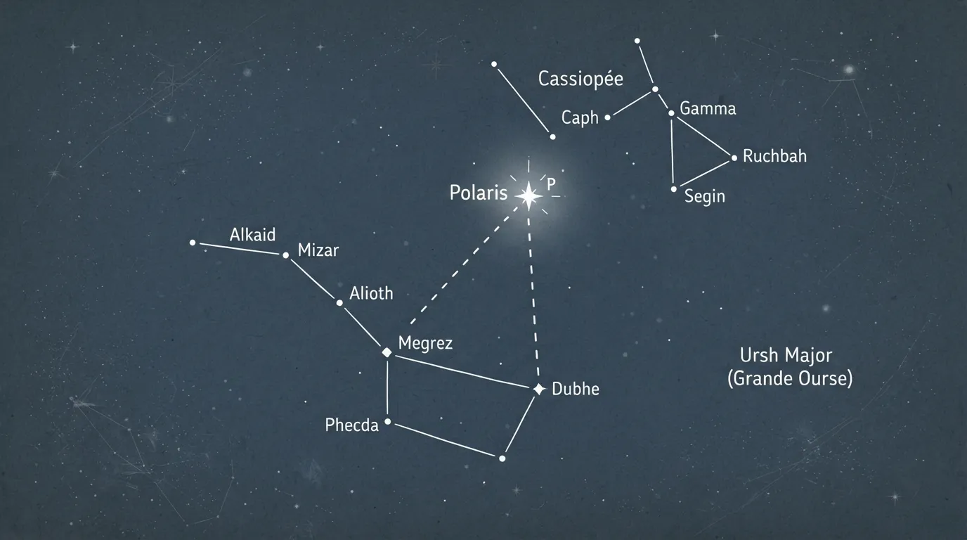
Polaris (The North Star). It isn’t the brightest star in the sky (it ranks around 47th or 48th, magnitude 2), but it sits within 0.66° of the celestial pole, making it virtually stationary. Locate the Big Dipper (Ursa Major), find the two pointer stars at the end of the bowl opposite the handle (Merak and Dubhe), and extend a line through them five times their distance apart: you will land on Polaris. If the Big Dipper is below the horizon, Cassiopeia (the large W-shaped constellation on the opposite side of the pole) points toward Polaris via its central star. A navigator’s bonus: the angle of Polaris above the horizon equals your latitude (48° in Paris, 45° in Montreal). Gatty measured this using hand spans: at arm’s length, the spread between your thumb and pinky covers roughly 15°, requiring “two hand spans” from Dubhe.
The Southern Cross (Crux). Invisible north of 20° N latitude, circumpolar south of 35° S. Extend the long axis of the cross (from Gacrux through Acrux at the base) by 4.5 times its length: this lands near the southern celestial pole. Dropping a vertical line straight down to the horizon gives true south. Verify your alignment using the two Pointer Stars (Alpha and Beta Centauri), which are bright and nearby: a perpendicular bisector drawn between them intersects the extended line of the cross at the correct spot. Beware of the False Cross—it is larger, dimmer, and lacks pointer stars.
Any single star. The night sky rotates around the celestial poles, meaning stars rise in the east and set in the west, just like the sun. Plant two stakes in the ground aligned with a bright star, or sight it across the edge of a rock, and wait ten minutes: if the star rises, you are facing east; if it sinks, you are facing west; if it sweeps horizontally to the right, you face south; if it sweeps left, you face north (in the Northern Hemisphere). Orion’s Belt, sitting almost directly on the celestial equator, rises due east and sets due west regardless of your location on Earth.
The moon
The illuminated face of the moon always points toward the sun, even after sunset. On a crescent moon, draw an imaginary line connecting the two tips (horns) and extend it down to the horizon: it provides a rough north-south line, touching the ground on the south side in the Northern Hemisphere. A line drawn perpendicular to this, extending from the bright side, indicates where the sun sits below the horizon. Gatty also highlights the phase rule, backed by astronomical data: a full moon sits due south at solar midnight, a first quarter moon sits due south at sunset, and a third quarter moon sits due south at sunrise. FM 21-76 summarizes: if the moon rises before sunset, its bright side faces west; if it rises after midnight, its bright side faces east. The moon rises approximately 50 minutes later each night.
Reading the landscape: facts vs. myths
What actually works is observing asymmetric growth patterns in trees, driven by two forces: sunlight and wind. An isolated tree grows fuller foliage and heavier branching on its south side (FM 21-76, Gooley), and its lower southern branches tend to extend horizontally while northern branches reach upward toward the light. However, Gatty traveled across Europe to confirm this: from Provence to Holland, prevailing winds leave the strongest mark. In the Rhône Valley, cypress trees lean toward the southeast, sheltering from the mistral; from Belgium to Holland, almost every standalone tree shows stunted growth on its northwestern side. Palm trees, conversely, bend into trade winds. The rule: identify the local prevailing wind first, then read the trees. Tree growth rings, on the other hand, are unreliable: survival manuals often claim rings are “wider toward the equator,” but Leonardo da Vinci and a study of 700 Adirondack spruces showed the opposite 94% of the time. When reputable sources contradict each other, drop the clue.
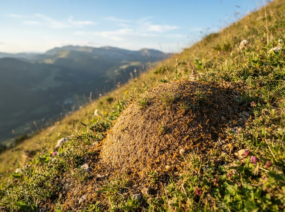
Other reliable indicators include snow cover, which lingers into summer on north-facing slopes (FM 21-76); a south-facing slope receives 8 to 10 times more solar radiation than a north-facing one, which is why vineyards, crops, and villages cluster on southern exposures, while dark fir and spruce forests dominate the north. In urban areas, satellite dishes point toward geostationary satellites positioned above the equator—meaning they face south. In Western Europe, dishes align south-southeast (155° to 170° bearings depending on region). Solar panels face south. Historical churches traditionally orient their altars toward the east, though urban planning led to famous exceptions (such as Amiens, Bourges, or Senlis). Gatty also noted television antennas (pointing toward regional transmitters), building facades showing rain weathering on one consistent side, and morning traffic patterns heading toward town centers.
In deserts, longitudinal sand dunes align parallel to prevailing winds, with barchan dune tips pointing downwind. In polar regions, wind-carved snow ridges called sastrugi do the same—polar explorer Douglas Mawson relied on them near the Magnetic South Pole where compasses become useless. At sea, Polynesian navigators read ocean swells by feeling wave motions inside their canoes, and tracked two seabird species that return to land at night: the white tern, which ranges up to 200 km from shore, and the noddy tern, which ranges up to 65 km. In the evening, their flight path points straight to land. A stationary cloud clinging to a peak, or a greenish glare on the underside of a cumulus cloud (the reflection of a shallow lagoon), revealed an atoll beyond the horizon. If you are tracking, follow trails early in the morning or late in the afternoon, keeping the track between you and the sun so shadows highlight footprints, looking 5 to 10 meters ahead rather than directly at your feet.
Measuring: distance, time, and daylight
Pace counting. A standard natural step is about 75 cm (two steps make a pace, roughly 1.5 m). Calibrate your pace count over a measured 100-meter distance on similar terrain; FM 3-25.26 notes that a soldier taking 120 paces per 100 meters on flat ground increases to 130 paces uphill. Sand, mud, snow, headwinds, darkness, and fatigue shorten your stride; downhill walking lengthens it. Crucially: “don’t rely on memory to track your count.” Move a pebble from one pocket to another every 100 meters, tie knots in a cord, or use ranger beads: 9 beads on the lower section (one per 100 m) and 4 on the upper section (one per kilometer). Gatty counted right-foot strikes only and doubled the distance.
Visual estimation. A human face becomes indistinguishable past 300 m, clothing colors blur beyond 450 m, a person “looks like a post” at 700 m, and an average church spire is visible up to 15 km away (Gatty’s visual scale). People underestimate distances when looking up or down steep slopes, on bright clear days, or across water and snow; they overestimate distances in low light or across undulating ground. An echo takes roughly 5 seconds to travel 1,600 m back and forth: shout toward a cliff face and count the seconds.
Estimating remaining daylight. As established, the sun moves at 15° per hour; four fingers held together at arm’s length cover roughly 7° to 8°. The classic scout rule “one finger = 15 minutes, one hand = one hour” is a generous estimate: at mid-latitudes where the sun sets at an angle, it is roughly accurate; in the tropics where the sun drops straight down, one hand span equals closer to 30 minutes. Calibrate your own hand once at home on a clear evening with a watch. Keep in mind that usable twilight lasts 30 to 40 minutes after the sun drops below the horizon.
| Compass | Polaris | Watch + Sun | Shadow-Stick | Moss | |
|---|---|---|---|---|---|
| Typical accuracy | 1° to 3° (declination corrected) | Less than 1° | 5° to 25° depending on season | 5° to 20°, best around noon | Unreliable |
| Requirements | Keep away from metal | Clear night, Northern Hemisphere | Visible sun, accurate time | Sun, flat ground, 15 min | Isolated, open tree |
| Time needed | 10 sec | 1 min | 30 sec | 15 to 60 min | 10 sec |
| Verdict | Gold standard | Nighttime gold standard | Decent backup | Shortest shadow method only | Mostly a myth |
Smartphone GPS: setting up before you leave
Your phone is a fully capable GPS device, provided you complete two steps at home. First, download offline maps: use Google Maps, OsmAnd, or Organic Maps (OpenStreetMap), or national topographic mapping apps. Google’s offline maps expire and require periodic refreshing; OpenStreetMap-based apps retain their maps indefinitely. Second, understand airplane mode: it disables cellular, Wi-Fi, and Bluetooth transmissions without turning off the internal GPS receiver. Your battery will last two to three times longer. The tradeoff: without a cellular network, your phone loses Assisted GPS (A-GPS), which pre-downloads satellite orbit data. A cold GPS start in airplane mode can take up to 12.5 minutes under open sky. Turn on location services before entering dense canopy, and maintain your satellite lock.
Frequently asked questions
How can I find my way without a compass or GPS?
During the day, the most reliable method is finding solar noon via the shortest shadow cast by a stick, which points directly north in the Northern Hemisphere. At night, locate Polaris by extending the distance between the two pointer stars of the Big Dipper five times; alternatively, observe regional prevailing wind patterns and asymmetric branch growth on isolated trees.
Why do lost people walk in circles in the woods without realizing it?
A 2009 Max Planck Institute study proved that walkers deprived of visual reference points (such as the sun or moon hidden by clouds) naturally walk in loops, sometimes as small as 20 meters across when blindfolded. This isn’t caused by having one leg longer than the other, but by the brain accumulating minor directional errors when stripped of external landmarks; the fix is to continually align two visible points ahead of you.
Does moss really always grow on the north side of trees?
No, this is a persistent myth: moss seeks moisture and shade rather than a specific compass direction, growing around the entire trunk in dense woods or near streams. What actually works is reading asymmetric tree growth caused by sunlight exposure and prevailing winds on isolated, fully exposed trees.
How do I find north using the stars?
In the Northern Hemisphere, locate the Big Dipper (Ursa Major), find the two pointer stars on the edge of the bowl opposite the handle, and extend their line five times: this leads directly to Polaris, which stays fixed within 0.66° of the true celestial pole. In the Southern Hemisphere, extend the long axis of the Southern Cross 4.5 times to find the southern celestial pole, then drop a line straight down to the horizon to mark south.
Should I follow a river downstream if I get lost?
Nine times out of ten this works, as valleys contain roads, bridges, and settlements, but three major hazards exist: narrow gorges that trap you above waterfalls, impassable swamps or jungles, and crossing into the wrong drainage basin that leads away from safety. If the canyon walls steepen and water roars ahead, exit the riverbed and follow the parallel ridge.
How can I use my smartphone as a GPS without cell service?
GPS receivers work independently of cell coverage, even in airplane mode (which disables cellular radio, Wi-Fi, and Bluetooth to extend battery life up to three times). You must download offline maps (such as OpenStreetMap, OsmAnd, or Organic Maps) before heading out, and acquire a GPS fix before walking under heavy tree cover, as acquiring satellite signals without network assistance can take over ten minutes.
Key takeaways
- If you get lost, stop moving: use STOP, stay visible if someone knows your plans, or backtrack to your last known location.
- Without visible landmarks, humans naturally walk in circles within a few hundred meters; always keep two landmarks aligned ahead of you.
- Following water downstream leads to civilization nine times out of ten; the tenth time leads into a gorge, jungle, or wrong watershed.
- A compass points to magnetic north: adjust for declination (around 2° East in Western Europe, over 15° West in parts of eastern North America).
- By day, rely on the shortest shadow method; by night, use five times the pointer stars of the Big Dipper; ignore moss.
Going further
- Harold Gatty, Finding Your Way Without Map or Compass (Dover): the definitive classic on natural navigation, written by the record-setting 1931 round-the-world navigator.
- Tristan Gooley, The Natural Navigator and The Lost Art of Reading Nature’s Signs: practical guides to reading trees, puddles, satellite dishes, and clouds to navigate.
- US Army, FM 3-25.26 Map Reading and Land Navigation: the standard military field manual covering map and compass skills, available free online.
- Robert Koester, Lost Person Behavior: search-and-rescue analysis based on 50,000 cases, detailing how missing persons behave and where they are found.
Sources for this module (17)
- FM 3-25.26 Map Reading and Land Navigation (US Army), ch. 5, 6, 9, 11, 13
- FM 21-76 US Army Survival Manual, ch. 18 Field-Expedient Direction Finding
- Harold Gatty, Finding Your Way Without Map or Compass (Dover, 1958/1999)
- Tristan Gooley, The Natural Navigator (2010) et The Lost Art of Reading Nature's Signs (2014)
- Souman, Frissen, Sreenivasa, Ernst, Walking Straight into Circles, Current Biology, 2009 (communiqué Max Planck)
- Bestaven et al., Is Circling Behavior in Humans Related to Postural Asymmetry?, PLoS ONE, 2012
- Paul Kirtley, What to do if you get lost outdoors: STOP
- Wikipedia, Death of Geraldine Largay
- Rando Québec, Trouver le nord sans boussole (test bâton d'ombre vs montre)
- NOAA World Magnetic Model 2025, calculateur de déclinaison
- Wikipédia, Déclinaison magnétique
- Wikilivres, Guide de survie / Orientation
- GUEPE, La mousse et le nord
- Wikipédia, Crux (constellation) et Étoile polaire
- Wikipédia, Adret ; Orientation des églises ; Canyoning
- Nainoa Thompson, On Wayfinding (Polynesian Voyaging Society)
- Wikipedia, Assisted GNSS et Airplane mode
Continue in "The fundamentals"
Mindset: the key to everything
Before fire, before water, before shelter: what happens in your head during the first ten minutes.
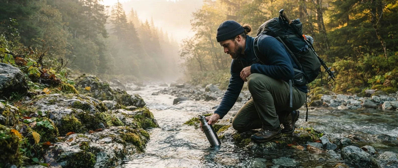
Water: Finding, collecting, and making it drinkable
Three days without water is the popular myth. The real question is where it's hiding and what's inside it.
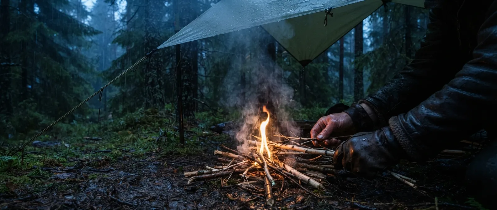
Fire: light it anywhere, keep it always
In the rain, on the snow, without a lighter: the physics of fire, techniques that work, and those that only work in the movies.